Fall colors
Smokies and Tennessee Fall Colors
Fall color reports for the Great Smoky Mountains, forecasts at high overlooks, frost and freeze alerts, and the status of the scenic roads.
- Forecasts checked hourly
- Road status every 30 minutes
Get an email when a warning covers the Smokies counties, or when the Tail of the Dragon or Cherohala Skyway closes.
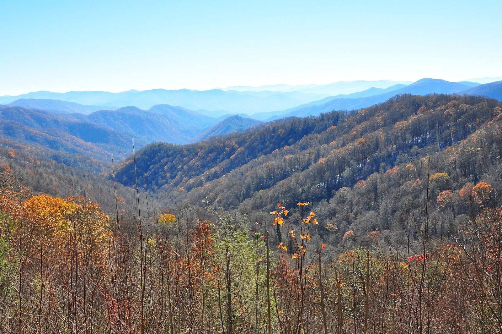
Know before you drive upPhoto: Newfound Gap Road, Thomas Ridge Overlook. Washuotaku, CC BY-SA 4.0

Map
Tennessee fall color spots on the map
Report
Smokies fall color report, 2026
Retrieved Oct 30, 7:35 am ET (6:35 am CT)
The Great Smoky Mountains Association, the park’s nonprofit partner, has not posted a 2026 fall color report yet. A link appears here when it does.
Above 4,000 feet
Color usually develops from early to mid October, against the evergreen spruce-fir forest on the highest ridges.
Below 4,000 feet
The most brilliant color is common from mid October to early November: sugar maple, scarlet oak, sweetgum, red maple, yellow poplar and hickories.
Why it moves downhill
The park runs from 875 to 6,643 feet, so color arrives in waves, starting on the peaks and working down to the valleys over several weeks.
Timing by elevation from the National Park Service.
Forecast
Forecast at Tennessee fall color overlooks
Temperatures at high overlooks run well below the valleys. Overnight lows near freezing speed up the color change.
| Place | Elevation | Forecast this hour | Next overnight low |
|---|---|---|---|
| Kuwohi (Clingmans Dome) | 6,643 ft | 57°F, Mostly Sunny | Tonight: 49°F |
| Newfound Gap | 5,046 ft | 59°F, Mostly Sunny | Tonight: 49°F |
| Cades Cove | 1,800 ft | 70°F, Mostly Sunny | Tonight: 59°F |
| Foothills Parkway at Look Rock | 2,600 ft | 64°F, Mostly Sunny | Tonight: 57°F |
| Roan Mountain at Carvers Gap | 5,512 ft | 59°F, Sunny | Tonight: 47°F |
| Fall Creek Falls State Park | 1,700 ft | 67°F, Sunny | Tonight: 52°F |
National Weather Service hourly and 7-day forecasts for each spot’s grid square. Elevations are approximate. Cold nights and sunny days bring out the brightest reds.
Alerts
Frost and freeze alerts in Tennessee
Source updated Oct 30, 11:45 am ET (10:45 am CT) · Retrieved Oct 30, 11:45 am ET (10:45 am CT)
The National Weather Service had no frost advisory or freeze warning in effect for Tennessee at the time of this reading.
Roads
Smokies scenic roads: open or closed
National Park Service closures and road events. Each road links to its own status page with the forecast along it.
Retrieved Oct 30, 11:20 am ET (10:20 am CT)
| Scenic road | Status | Park Service note |
|---|---|---|
| Newfound Gap Road | No closure listed | |
| Clingmans Dome Road | No closure listed | |
| Cades Cove Loop Road | No closure listed | |
| Roaring Fork Motor Nature Trail | No closure listed | |
| Foothills Parkway | No closure listed | |
| Little River Road | No closure listed | |
| Rich Mountain Road | No closure listed | |
| Cosby Road | No closure listed |
Tennessee email alerts
Pick your county, utility or highway and get an email when a weather warning, a large outage or a full road closure happens there.
Helpful links
Helpful links for a fall color trip
- Smokies fall colorsThe park's guide to fall color, crowds and traffic in October.National Park Service
- Smokies parking tagsParking tags are required to park in the park for more than 15 minutes.National Park Service
- Tennessee road conditions and trafficCrashes, closures and construction on state highways.TDOT SmartWay
- Places to stay in GatlinburgHotels, cabins and lodges near Gatlinburg.Booking.com · affiliate link
- Places to stay in TownsendHotels, cabins and lodges near Townsend.Booking.com · affiliate link
Links marked affiliate may earn Tennessee Conditions a commission at no cost to you.
Tennessee fall color questions
When is peak fall color in the Smokies?
Above 4,000 feet, color usually develops from early to mid October. Below 4,000 feet the brightest color is common from mid October to early November. The exact peak changes from year to year with weather.
Where does fall color start in Tennessee?
On the highest peaks. In the Smokies, yellow birch, American beech, mountain maple, hobblebush and pin cherry turn first, as early as mid September, and color works down to the valleys over several weeks.
Is there a 2026 Smokies fall color report?
Not yet. The Great Smoky Mountains Association has not posted its 2026 report; it is linked here when it does.
Are there frost or freeze alerts in Tennessee?
No. The National Weather Service had no frost advisory or freeze warning in effect for Tennessee as of 11:45 am ET on Oct 30.
How busy are the Smokies in October?
October is the busiest month of the year in the park, and drives can take hours longer than usual. A parking tag is required to park in the park for more than 15 minutes.
Are the fall color roads open?
The table on this page shows the Park Service’s current closures for Newfound Gap Road, Clingmans Dome Road, Cades Cove, Roaring Fork and other scenic roads. Each road links to its own status page.
Also checked
Beyond fall colors: more Tennessee conditions
Where the data for fall colors comes from
Every reading is credited to its source, with the time it was taken. Corrections and source questions go to the sources page.
Photo: Cumberland Trail at Eagle Bluff. Brian Stansberry, CC BY 3.0
