TDOT SmartWay
I-40 Closures in Tennessee Today
Closures, crashes, lane blockages and work zones TDOT has listed on I-40 in Tennessee right now.
- Checked every 10 minutes
- From TDOT SmartWay
Get an email when TDOT lists a full closure on I-40. Lane closures and work zones are not sent.
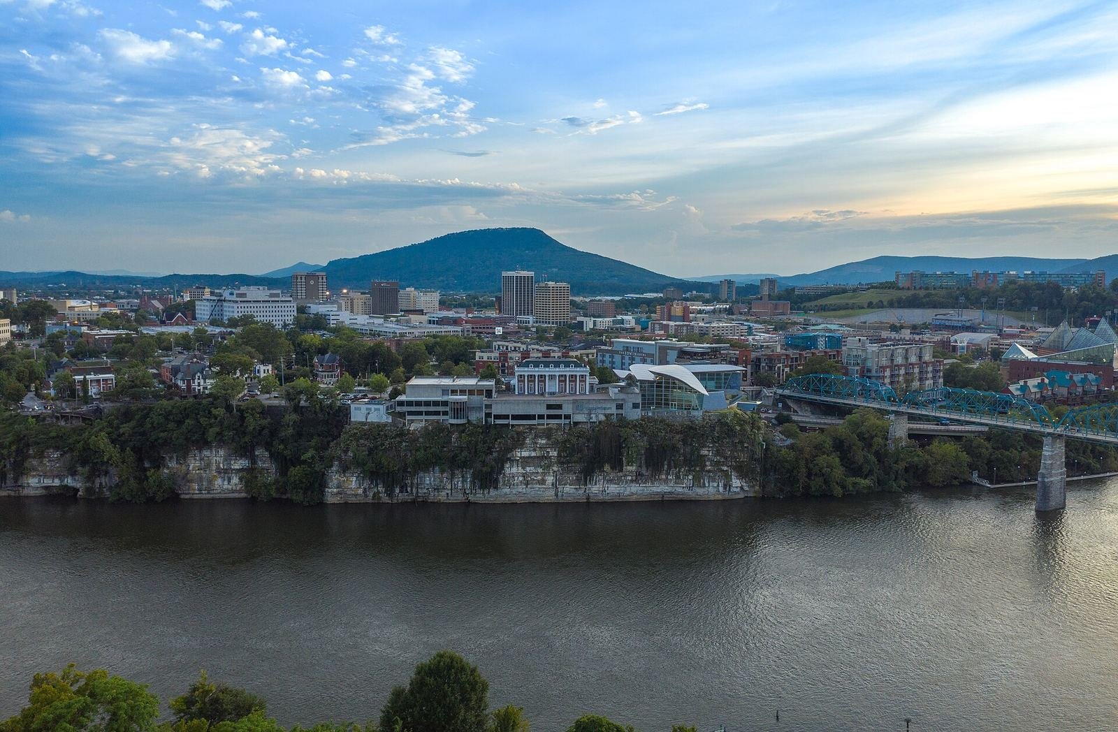
Know when I-40 closesPhoto: Chattanooga and Lookout Mountain from the Tennessee River. Breethol, CC BY-SA 4.0

Map
I-40 in Tennessee right now
Status
Is I-40 closed in Tennessee right now?
TDOT listed no full closure on I-40 in Tennessee as of 12:50 pm ET on Oct 30. 5 lane closures or blockages were listed.
Source updated Oct 30, 7:46 am ET (6:46 am CT) · Retrieved Oct 30, 12:50 pm ET (11:50 am CT)
| Status | TDOT description | County | Updated |
|---|---|---|---|
| Lane closure | Interstate 40 EB in Cocke County – between MILE MARKER 446 and MILE MARKER 451 Scheduled Road Work will result in EB right lane (of 2 lanes) blocked, right shoulder blocked Thu 01/15/2026 through Thu 12/31/2026. | Cocke | 3:58 am ET (2:58 am CT) |
| Lane closure | Interstate 40 WB in Shelby County – near MILE MARKER 5.4 Scheduled Road Work reported at 08/22/2026 9:51 PM (CT). WB right lane (of 3 lanes) blocked, right shoulder blocked. | Shelby | 12:15 am ET (11:15 pm CT) |
| Lane closure | Interstate 40 EB in Shelby County – near MILE MARKER 2 Scheduled Road Work reported at 09/26/2026 8:17 PM (CT). EB left lane (of 3 lanes) blocked, left shoulder blocked. | Shelby | Oct 29, 4:48 am ET (3:48 am CT) |
| Lane closure | Interstate 40 EB and WB in Cumberland County – near MILE MARKER 306 Resurfacing will result in intermittent lane closures Sun through Fri from 8:00 PM to 7:00 AM (CT). Work is expected to occur between Sun 09/06/2026 and Sat 10/31/2026. | Cumberland | Sep 10, 3:54 am ET (2:54 am CT) |
| Shoulder blocked | Interstate 40 EB in Cumberland County – near MILE MARKER 340 Scheduled Road Work reported at 07/26/2026 5:51 AM (CT). EB left shoulder blocked, right shoulder blocked. | Cumberland | Aug 13, 8:58 am ET (7:58 am CT) |
Route
About I-40
Interstate 40 crosses Tennessee from Memphis to the North Carolina line in the Pigeon River Gorge, through Jackson, Nashville, Cookeville and Knoxville.
This page covers the Tennessee side only. Closures on the North Carolina side are posted by NCDOT.
Roads
Other Tennessee roads
- I-75No closure listed
- I-24No closure listed
- I-65No closure listed
- I-81No closure listed
- I-26No closure listed
- Tail of the DragonNo closure listed
- Cherohala SkywayNo closure listed
- Smokies roadsPark road closures
Counties with events on I-40 now: Cocke, Cumberland, Shelby.
I-40 closure emails
Get an email when TDOT lists a full closure on I-40 in Tennessee. Lane closures and work zones are not sent.
Helpful links
Helpful links for Tennessee drivers
- Tennessee road conditions and trafficCrashes, closures and construction on state highways.TDOT SmartWay
- Tennessee Emergency Management AgencyState emergency updates, shelters and disaster assistance.TEMA
- Car emergency kitsJumper cables, flares and first aid for the car.Amazon · affiliate link
Links marked affiliate may earn Tennessee Conditions a commission at no cost to you.
Questions about I-40 in Tennessee
Is I-40 closed in Tennessee right now?
TDOT listed no full closure on I-40 in Tennessee as of 12:50 pm ET on Oct 30. 5 lane closures or blockages were listed.
Where does this information come from?
TDOT SmartWay, the Tennessee Department of Transportation’s traffic system, which lists crashes, closures, weather events and work zones on state routes and interstates. Tennessee Conditions is not affiliated with TDOT.
How current is it?
This page checks SmartWay every 10 minutes. Each event shows when TDOT last updated it. For conditions right now, call 511 or check SmartWay directly.
What is the difference between a closure and a lane blockage?
A closure means TDOT has marked the road closed in at least one direction. A lane closure or blockage means traffic is still getting through on fewer lanes or around a blocked shoulder.
Where the data for I-40 closures comes from
Every reading is credited to its source, with the time it was taken. Corrections and source questions go to the sources page.
Photo: Fall Creek Falls State Park at dawn. Neal Vickers, CC BY-SA 4.0
